Toronto’s forecast this week calls for warmer conditions, raising alerts for potential flooding as above-zero temperatures could trigger large amounts of melting snow.
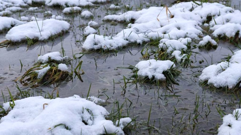
The Credit Valley Conservation says the current “snowpack” across the watershed measures up to about 80 to 100 millimetres of “snow-water.”
They warn that the melt could result in runoff of an estimated 10 to 25 millimetres with most of the melt occurring Tuesday through Thursday.
A flood outlook has been issued for the Credit Valley watershed as a result.
“While neither significant river ice breakup or flooding of the Credit River is expected, some areas will see increased water levels and localized minor flooding,” the conservation authority warns.
Higher water levels could also make local streams and rivers more dangerous, “especially in the vicinity of culverts, bridges, and dams,” they say.
City officials in Toronto also say they are monitoring potential flooding concerns and crews will be deployed to inspect and clear catch basins in flood-prone areas.
Officials say snow removal operations across the city will help reduce the volume of snow that could melt and potentially contribute to flooding.
Environment Canada is forecasting warmer weather in Toronto this week, with a high of 6 C Monday and a chance of showers on Tuesday and Thursday.
Above-zero temperatures are forecast during the day until Friday.
With files from The Canadian Press.


